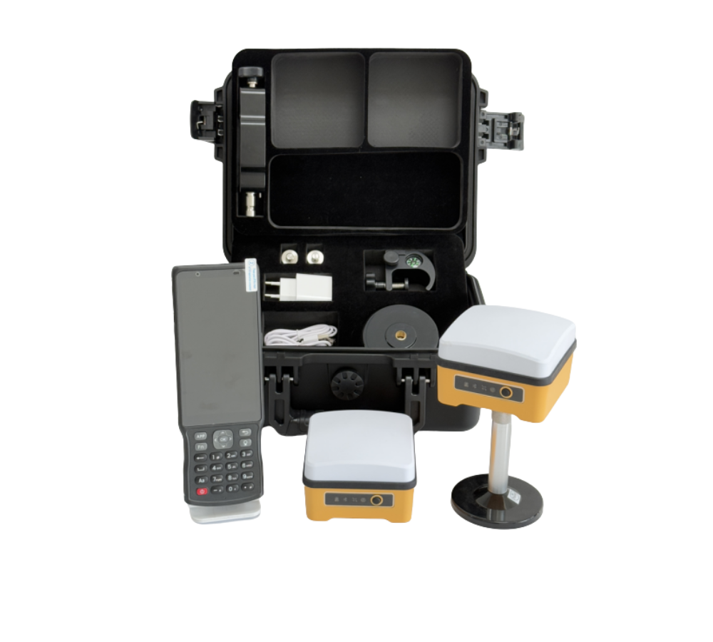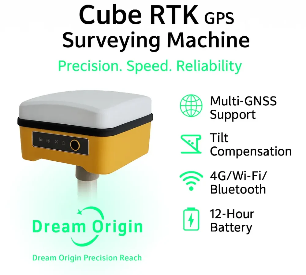




Cube RTK GNSS GPS Multifunction Surveying Machine
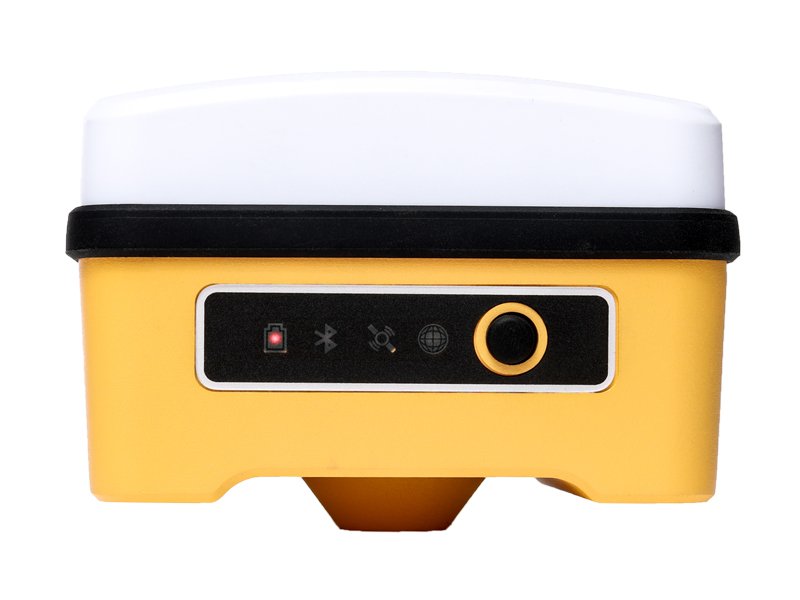
The Cube RTK is a portable GPS unit that provides very accurate position information. It follows satellites using advanced technology, measures tilt, and connects via 4G, WiFi, and Bluetooth. If you’re doing land surveys or any job that requires an exact map, the Multifunction RTK helps you do it more accurately.
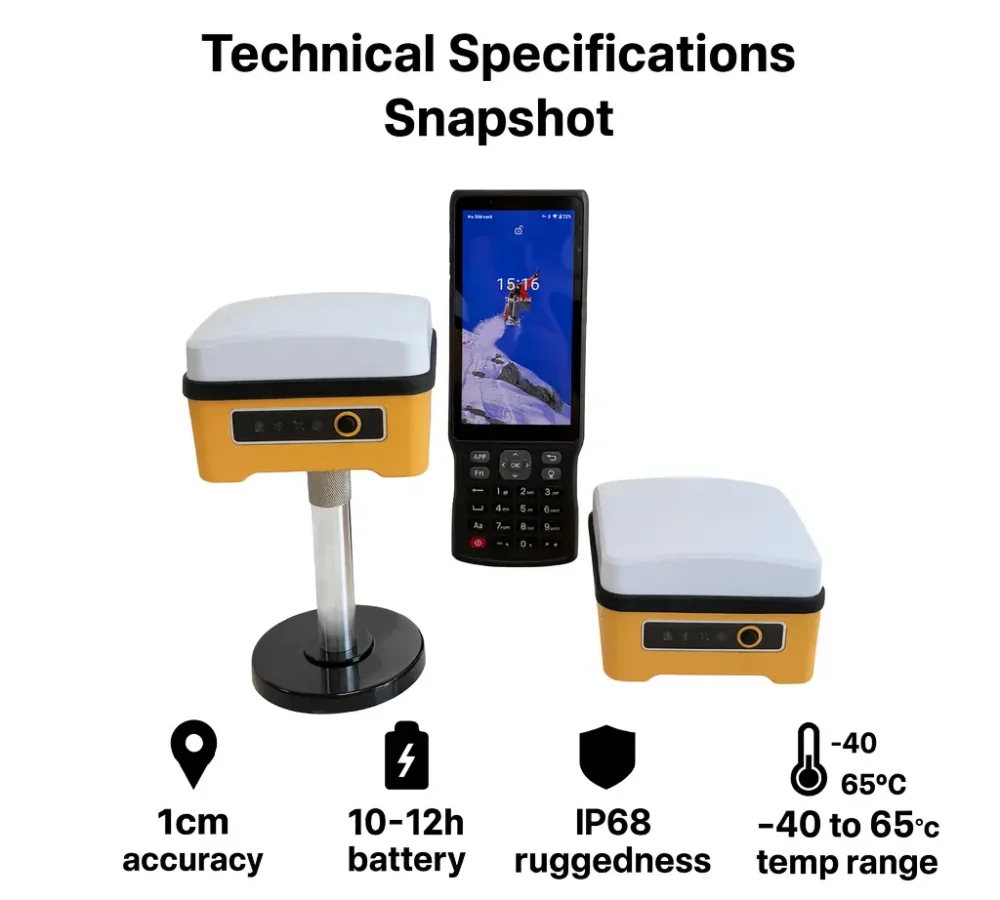
Technical Specifications
Satellite System
- GPS: L1 C/A, L2P, L2C
- BDS: B1I, B2I, B3I, B1C, B2a, B2b
- GLONASS: L1, L2
- Galileo: E1, E5a, E5b
- QZSS: L1, L2, L5
More Technical Specifications
Static Positioning Accuracy
- Horizontal: ±(2.5 mm + 0.5 ppm)
- Vertical: ±(5 mm + 0.5 ppm)
RTK Positioning Accuracy
- Horizontal: ±(10 mm + 1 ppm)
- Vertical: ±(20 mm + 1 ppm)
- Initialization Time: < 10 seconds
- Initialization Reliability: > 99.9%
IMU Tilt Measurement
- Tilt Angle: ≤ 60°
- Accuracy: ≤ 3 cm
- Initialization Time: ≤ 10 s
- Status: Auto-initialization, supports continuous tilt measurement
Physical Characteristics
- Protection Level: IP67 waterproof and dustproof
- Operating Temperature: -30°C to +75°C
- Storage Temperature: -40°C to +80°C
Communication
- Bluetooth: Bluetooth 5.2 (dual-mode)
- WiFi: 2.4G/5G dual-band
- 4G Full Netcom: Support for global bands
- USB: Type-C interface (charging, data transmission, and firmware upgrade)
Data Output Format
- NMEA-0183
- Binary
- RTCM2.X, RTCM3.X
- Rinex data logging (static and PPK data)
Battery
- Type: Built-in lithium battery
- Capacity: 6800 mAh
- Battery Life: ≥ 12 hours
- Charging Port: Type-C PD fast charging
- Charging Time: Approx. 3 hours


Product Features
Compatible with All GNSS Systems
The Cube RTK receiver features a high-precision satellite positioning module that is compatible with GPS, GLONASS, Galileo, and BeiDou. It is also compatible with the new BDS-3 signals (B1C, B2a, B2b). Featuring multi-frequency anti-jamming and signal filtration, the GPS RTK system tracks signals fast and provides centimetre-level positioning accuracy.
IMU-based Tilt Measurement
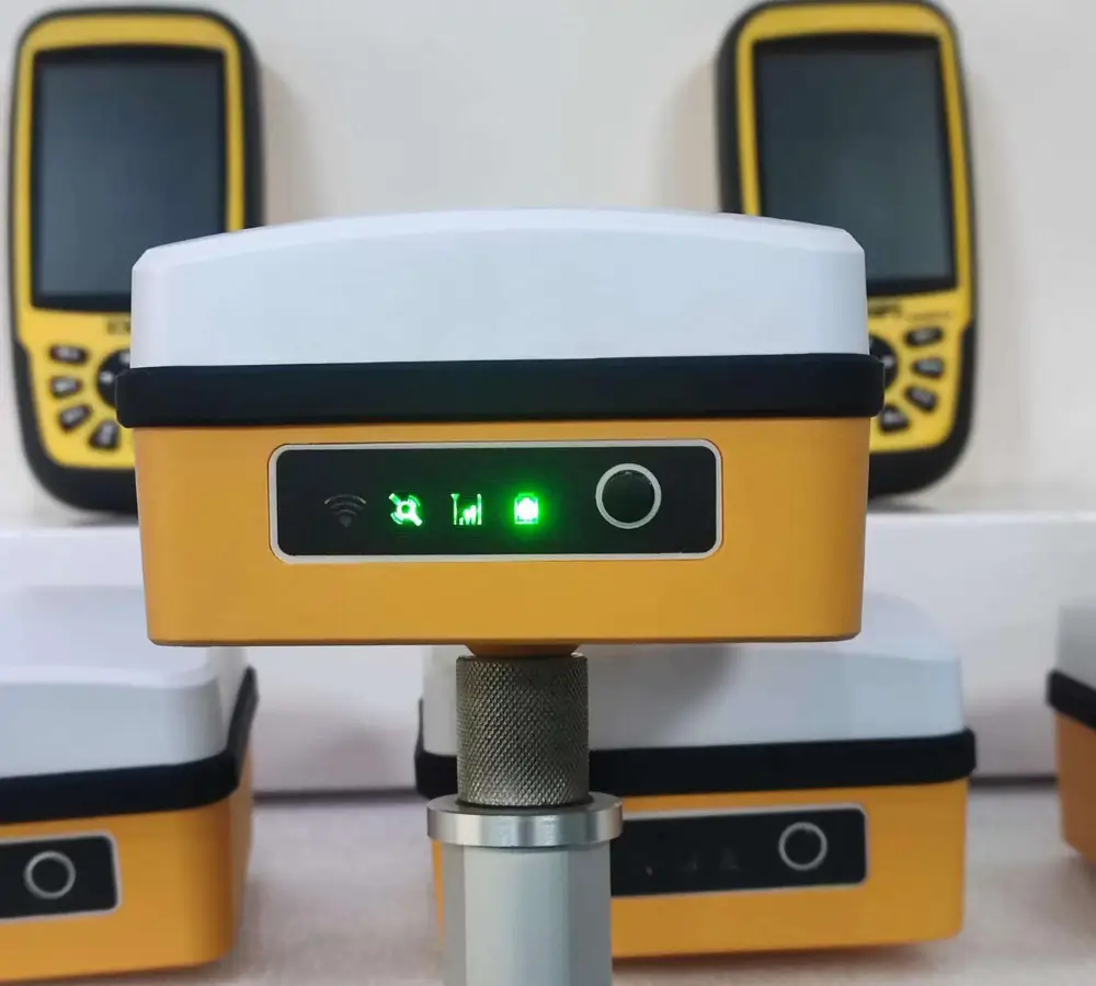
The Cube GPS GNSS RTK has a built-in IMU tilt module, which allows you to measure accurately even when the pole is not straight. After you activate tilt mode in the Bluetooth app and configure it, you can work quickly without needing to level the pole every time. When tilt compensation is active, the light turns green to let you know it's working.
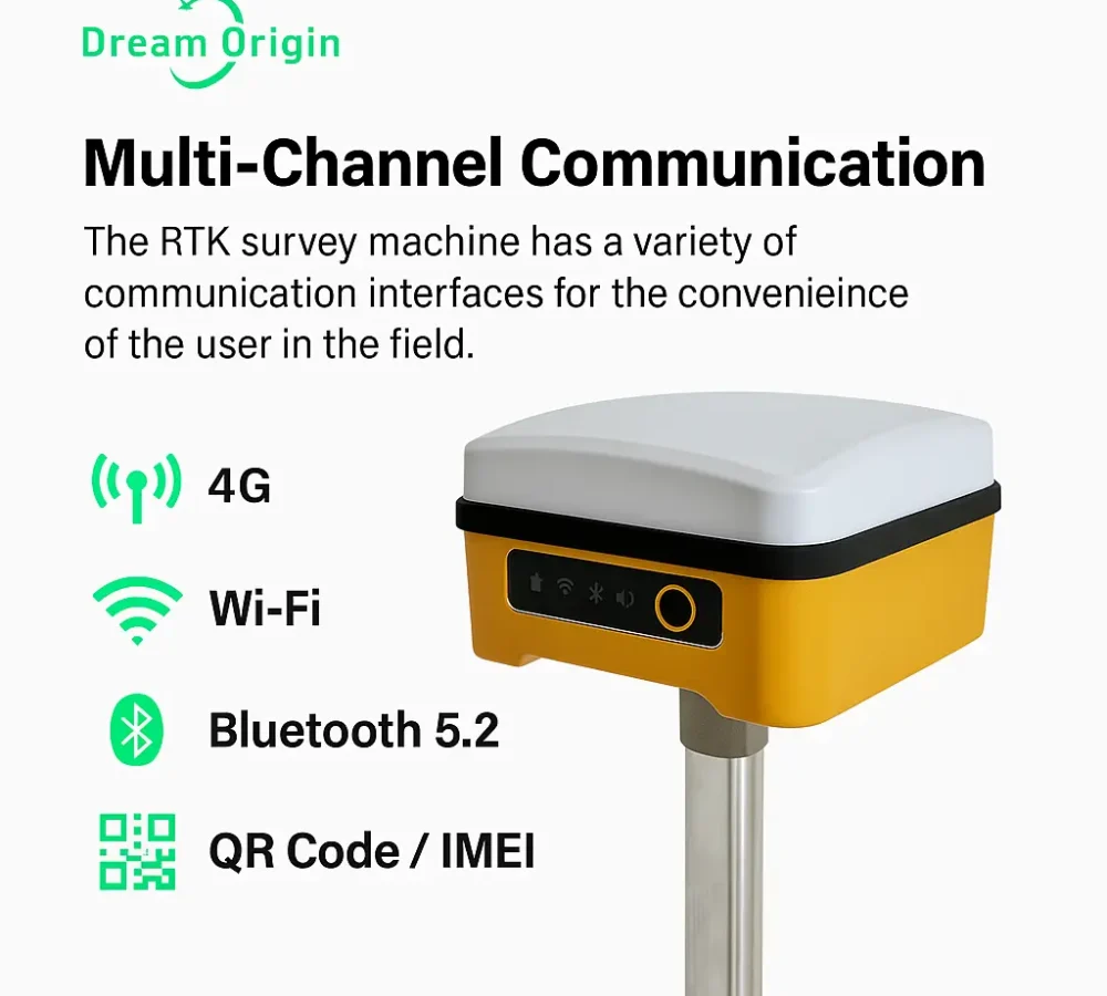
Multi-Channel Communication
The RTK survey machine has a variety of communication interfaces for the convenience of the user in the field. It comes with a 4G Netcom module and has Wi-Fi and dual-mode Bluetooth 5.2. You can also connect to devices through Bluetooth search, QR code, and IMEI entry. It can transmit RTCM correction data via 4G and Wi-Fi, and also supports correction data over Bluetooth.

Multiple Operation Modes
The Cube RTK land surveying machine comes with multiple modes for different surveying applications. In RTK mode, you can set it as a base station, reference station, or moving station with the Bluetooth app and NTRIP. Static mode is great for long-term, accurate measurements. Static data is saved in the “gnss/static” folder and can be downloaded with a Type-C USB. For post-processing, you can enable PPK mode in the app and save data in the “ppk” folder.
Clear LED Lights Indicators
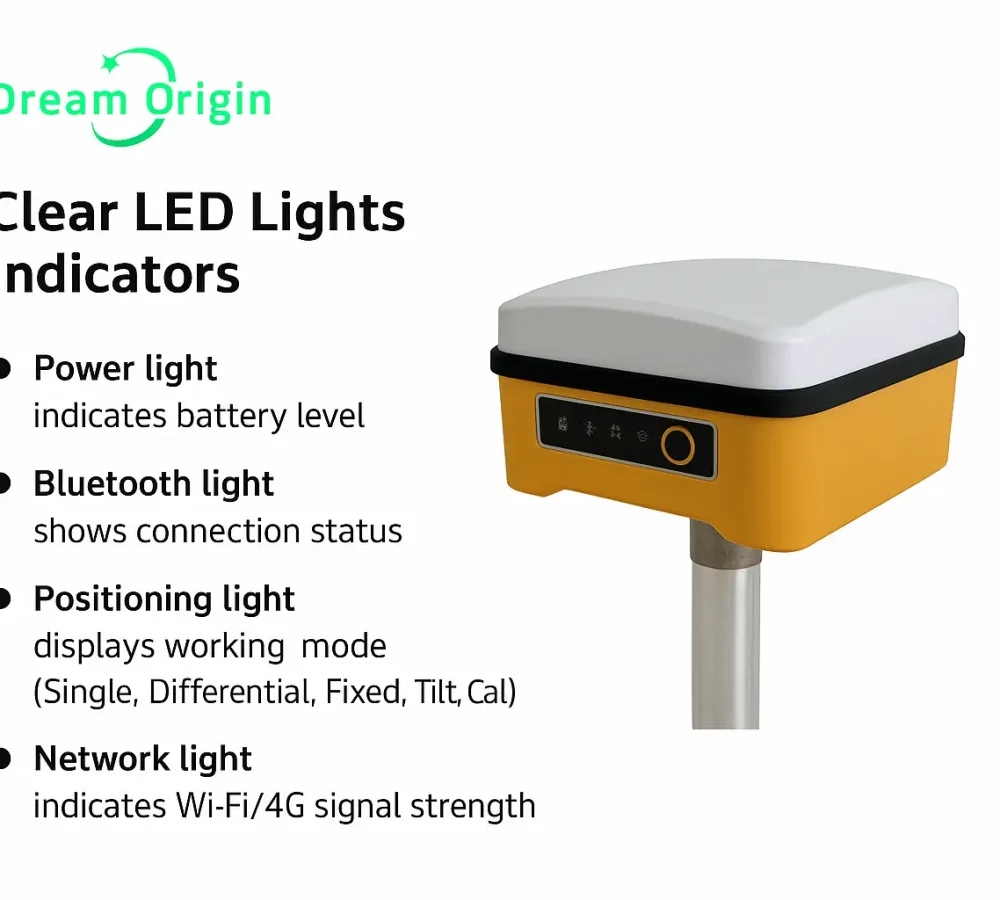
The Cube RTK GPS survey equipment features 4 LED lights that indicate what the device is doing. The power light turns red to green to indicate battery level. The Bluetooth light blinks red during a search and stays green when connected. The positioning light informs you whether the device is in single point, differential, or fixed mode, or if it requires IMU calibration. The network light turns color to indicate the strength of the Wi-Fi or 4G signal.
Long Battery Life
The Cube RTK GPS land surveying equipment is lightweight to easily carry and is equipped with a 6800 mAh battery, which can be used up to 12 hours. The device also supports fast charging via PD and uses a Type-C USB port for charging, data transfer. The charger and data cable come included, so you don't need to buy anything else.
Software and Compatibility
- Operates with Bluetooth Differential App
- Supports Bluetooth 5.2, WiFi, and 4G connectivity
- Compatible with NTRIP protocol for RTK corrections
- Supports:
- Static Mode (data stored in gnss/static)
- PPK Mode (data stored in gnss/ppk)
- Tilt Measurement via app settings
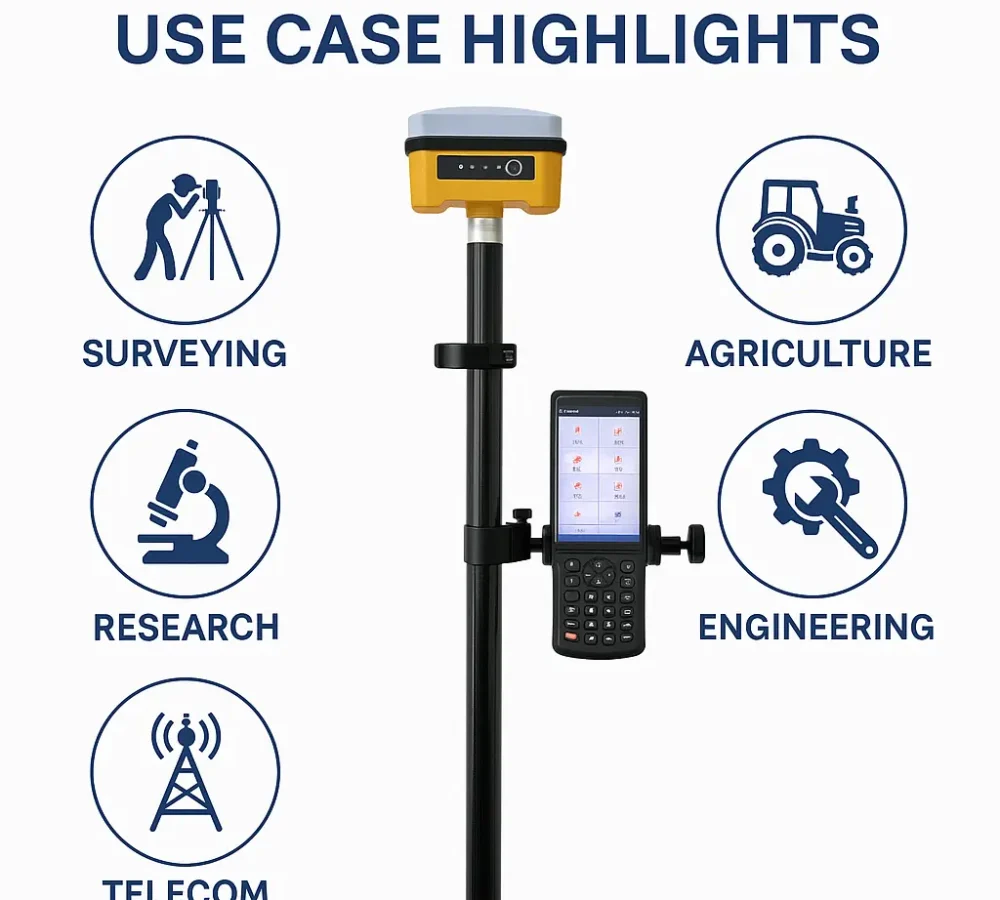
Functionality and Use Cases of Cube RTK
- Land Surveying - Creating maps, verifying land boundaries, and preparing construction sites with accuracy.
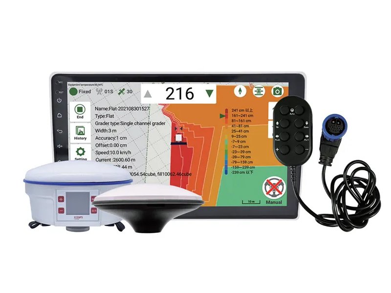
- Agricultural Mapping - Helpful for farmers to map their land and determine where to plant crops.
- Civil Engineering - Assists engineers with construction design and aligning roads or buildings.
- Telecommunication - Ideal for accurately marking the position of lines, towers, and other infrastructure.
- Research - Great for any research or studies that require precise location data, such as ground deformation measurements.


Multifunction Cube RTK GNSS GPS - Pros & Cons
Product Pros
- Compact, lightweight, and portable
- Built-in 4G, Wi-Fi, and dual-mode Bluetooth 5.2
- Supports RTK, PPK, static, and tilt measurements
- Long 12-hour battery life with fast charging
- Easy app-based setup via QR, Bluetooth, or manual input
- USB Type-C for data transfer and updates
Product Cons
- Dependent on internet (4G/Wi-Fi) for RTK via NTRIP
Customer Reviews
“The Cube RTK has revolutionized our fieldwork. With tilt compensation and centimeter-level accuracy, we complete projects twice as fast as before.”

Frequently Asked Question
Accordion Title One
Anim pariatur cliche reprehenderit, enim eiusmod high life accusamus terry richardson ad squid. 3 wolf moon officia aute, non cupidatat skateboard dolor brunch. Food truck quinoa nesciunt laborum eiusmod. Brunch 3 wolf moon tempor, sunt aliqua put a bird on it squid single-origin coffee nulla assumenda shoreditch et. Nihil anim keffiyeh helvetica, craft beer labore wes anderson cred nesciunt sapiente ea proident. Ad vegan excepteur butcher vice lomo. Leggings occaecat craft beer farm-to-table, raw denim aesthetic synth nesciunt you probably have not heard of them accusamus labore sustainable VHS.

